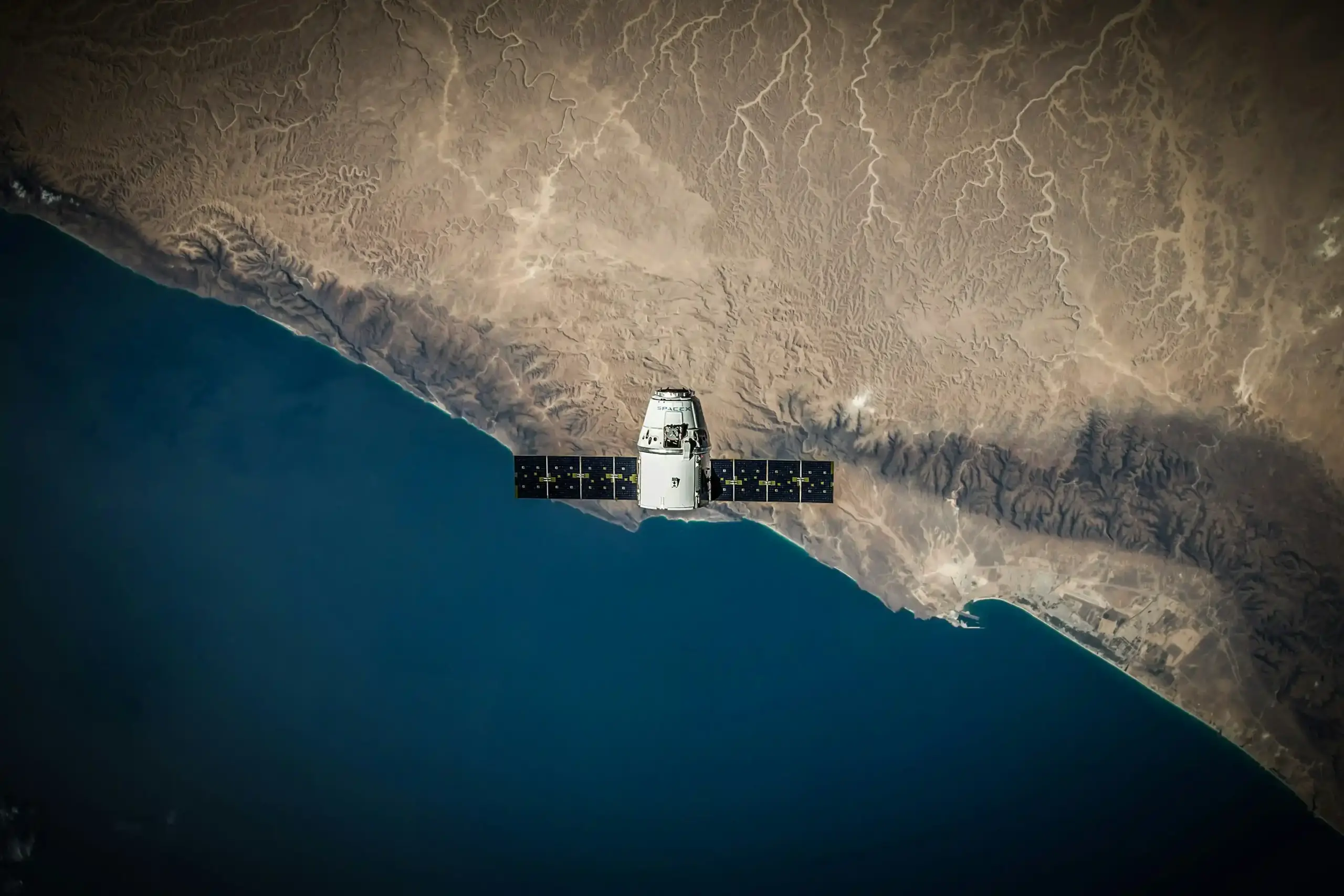
Space is no longer a distant frontier reserved for superpowers. It has become a practical tool for managing disasters, protecting forests, planning cities, connecting remote communities, forecasting weather and strengthening national security. For South Asia- a region exposed to earthquakes, floods, landslides, glacial-lake outburst floods (GLOF), cyclones and climate stress- space technology is increasingly a matter of public safety and development. India and Bhutan’s growing space partnership therefore represents more than diplomatic goodwill. It is a necessary step towards a region that can understand its own territory, respond to its own crises and build its own technological capacity.
The recent completion of a two-week training course on Land Use/Land Cover Mapping by Bhutanese officials at the Indian Institute of Remote Sensing (IIRS), Dehradun, is a small but important example of this shift. It shows that India- Bhutan relations are moving beyond traditional areas such as trade, hydropower, education and security cooperation into a contemporary partnership built around data, satellites, geospatial skills and climate resilience. It also offers a model for how South Asia can move towards greater space-related self-reliance.
Space is now security
For much of the twentieth century, space was associated mainly with rockets, satellites and great-power prestige. Today, it is deeply embedded in everyday governance. Satellites provide imagery for disaster response, monitor crops and forests, support navigation, enable telecommunications and help governments plan infrastructure. They also have clear security uses: border awareness, maritime surveillance, communication during emergencies and early warning systems.
In South Asia, this matters because geography itself creates risk. The Himalayan region is vulnerable to landslides, flash floods, earthquakes and GLOF. Coastal areas face cyclones, sea-level rise and saltwater intrusion. Dense populations, fragile infrastructure and limited emergency capacity make even relatively small disasters potentially severe. Satellite-based information cannot prevent every disaster, but it can definitely buy time for governments to act.
A satellite image can reveal where a river is changing course, where forests have been lost, where settlements are expanding into flood-prone land, or where a landslide may be likely. Communication satellites can maintain contact when ground networks fail. Navigation systems can guide relief vehicles and rescue teams. In this sense, space technology is not only about looking upward; it is about protecting life on the ground.
Space has therefore become an important part of national security in a broader sense. Countries that can build, launch, operate and interpret satellite systems have greater control over the information they need for defence, development and disaster management. Countries that depend entirely on foreign systems may have access to valuable services, but they remain vulnerable to political pressure, technical restrictions, cyber threats and supply-chain disruptions. This is why space capability is now closely linked to strategic autonomy.
A practical India- Bhutan partnership
Space cooperation adds a new and forward-looking layer to a close relationship based on geography, trust, trade, hydropower and people-to-people ties. It began with practical steps: India and Bhutan signed a Memorandum of Understanding (MoU) on cooperation in the peaceful uses of outer space in November 2020, covering Earth observation, satellite communication, navigation, space science and developmental applications.
The partnership became visible in 2022, when India and Bhutan jointly developed the India-Bhutan SAT, launched by ISRO on 26 November 2022. Bhutan also received a Ground Earth Station for the South Asia Satellite in Thimphu, inaugurated in 2019, which supports broadcasting and other communication services. These were not symbolic projects alone. They gave Bhutan practical exposure to satellite technology, data use and space-based services.
The relationship has since become more structured. In March 2024, India and Bhutan signed a Joint Plan of Action on Space Cooperation, creating a roadmap for capacity building, satellite data sharing, student exchanges, small-satellite projects and cooperation between private companies. The first meeting of the Bhutan- India Joint Working Group under this plan was held in Thimphu in September 2024, while the second took place in Bengaluru in April 2026.
The recent IIRS training fits directly into this framework. Bhutanese officials completed a two-week course on Land Use/Land Cover Mapping at IIRS in Dehradun, one of India’s leading institutions for remote sensing and geoinformatics education.
Land Use/Land Cover Mapping may sound technical, but its value is easy to understand. It helps governments identify forests, farmland, settlements, water bodies, barren land and changing landscapes. For Bhutan, such mapping can support forest conservation, agricultural planning, infrastructure decisions, disaster preparedness and climate adaptation. Bhutan has already used satellite imagery for national land-cover assessments; its 2020 assessment used Sentinel-2 imagery and achieved an overall accuracy of 87 percent.
The training therefore matters because it builds human capacity, not merely hardware. A satellite is useful only if a country has trained people who can request the right data, process it, interpret it correctly and turn it into policy. By training Bhutanese officials, India is helping Bhutan develop a domestic skill base. This is a more durable form of cooperation than simply providing equipment or one-off technical assistance.
Beyond a traditional relationship
India- Bhutan cooperation has traditionally centred on hydropower, trade, connectivity, education and security. These remain important. But the space partnership shows that the relationship is adapting to present-day challenges.
Bhutan’s priorities include land-use and land-cover studies, landslide forecasting, forest-fire monitoring, disaster management and research on glacial-lake outburst floods. These are not abstract scientific interests. They are direct responses to Bhutan’s mountainous terrain, forest-dependent economy and climate vulnerability. India’s ability to share satellite data, train officials and support technical institutions can help Bhutan make faster and better-informed decisions.
This is contemporary diplomacy. It is not based only on official visits or ceremonial agreements. It is based on shared problems: climate change, disaster risk, forest protection, connectivity and sustainable development. India’s support for Bhutanese engineers and experts, alongside joint satellite development and expanded bandwidth on the South Asia Satellite, demonstrates a partnership that produces practical results.
For India, the benefits are also clear. A technologically capable Bhutan is a more resilient neighbour and a stronger partner in regional stability. Cooperation in space can also reinforce trust. When India shares knowledge and helps build local capacity, it is not merely offering assistance; it is helping create a partner that can contribute to regional problem-solving.
South Asia needs space self-reliance
South Asia cannot remain dependent on outside powers for every satellite service, data product and technical skill. The region needs greater space-related independence and self-sufficiency. This does not mean that every country must build large rockets or launch its own deep-space missions. It means that each country should have the basic capacity to use space data effectively, maintain essential ground infrastructure, train specialists and participate meaningfully in regional systems.
Self-reliance should be understood in practical terms:
- Human capacity: Universities and technical institutes should train students in remote sensing, geographic information systems, satellite communications, data science and space law.
- Ground infrastructure: Countries need ground stations, data-processing facilities and trained technicians to receive, store and use satellite information.
- Data access: Governments should develop open, secure and user-friendly geospatial databases for disaster management, agriculture, land planning and environmental monitoring.
- Regional institutions: South Asian countries should create shared mechanisms for satellite data exchange, early warning, disaster response and technical training.
- Private-sector participation: Space is no longer only a government activity. Start-ups, universities and private companies can develop drones, mapping tools, communication services, small satellites and geospatial applications.
- Joint projects: Countries can share costs and expertise by developing small satellites, ground stations and regional data platforms together.
What India can lead
India is well placed to play a leading role. It has a mature space programme, operational launch vehicles, a large remote-sensing network and institutions such as ISRO, NRSC and IIRS. India has also achieved self-reliance in space transportation, with launch systems capable of placing satellites of up to 10 tonnes into low Earth orbit and 4.2 tonnes into geosynchronous transfer orbit.
India’s neighbourhood-first approach should therefore move beyond providing satellites or ground stations. It should focus on building permanent capacity in neighbouring countries. This means scholarships, joint research programmes, faculty exchanges, student satellite projects, shared disaster-mapping platforms and support for national space policies.
The India- Bhutan partnership already points in this direction. The Joint Plan of Action includes capacity building, internships, student exchanges, satellite-data sharing and possible small-satellite projects. If implemented consistently, it could become a template for India’s space diplomacy across South Asia.
Therefore, a space-ready South Asia will not be built by one country alone. It will be built through shared satellites, shared data, shared training and shared responsibility for a region that faces common risks. If India and Bhutan continue along this path, their partnership can become more than a bilateral success story. It can become the beginning of a genuinely self-reliant South Asian space future.