


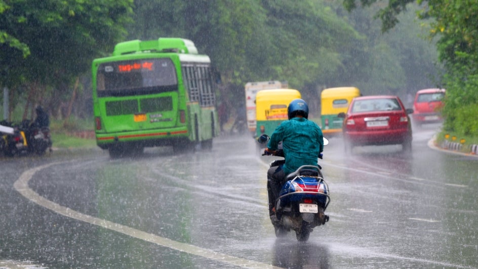
Delhi was lashed by unseasonal rain along with a thunderstorm for the second day today triggered by western disturbances in the upper atmosphere, according to India Meteorological Department.
A Western Disturbance originates in the Mediterranean region and is an area of low pressure that brings sudden showers normally during winter in North India. However, for such rains to come in March is a freak phenomenon.
“There is enough moisture available in northwest India due to the western disturbance and the temperatures have also risen over the last few days. So, the conditions are conducive for such activity,” Kuldeep Srivastava, the head of the IMD’s regional forecasting centre, said.
#WATCH | Delhi: Rain lashes parts of National Capital
(Visuals from South Avenue) pic.twitter.com/IVWl8y0AJD
— ANI (@ANI) March 30, 2023
“Yesterday’s rain was due to a western disturbance. In the coming two days, in north-west India, including the western Himalaya region, there is a possibility of rainfall, thunderstorm and hailstorm. The temperatures all over India is normal and no possibility of a heatwave as of now,” Dr Naresh, IMD Scientist, told ANI.
While the rain has been delaying the heat wave by bringing down the temperature, it has also damaged the standing crop in Punjab, Haryana and Madhya Pradesh.
Wheat is the main rabi (winter) crop and harvesting has already started in some parts of the country. The government has projected a record wheat output at 112.2 million tonnes for the 2022-23 crop year (July-June). Rain at this stage damages the crop.


