


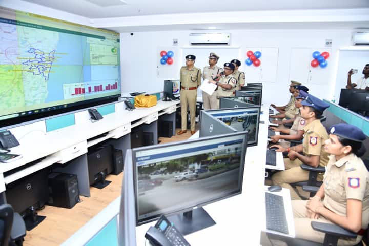
Continuing with the efforts to make Greater Chennai region safe and secure with the help of technology, police authorities launched Geographic Information System (GIS) mapping of crime zones in the city. This location intelligence will enable prevention of crime across Greater Chennai.
This project undertaken under the Safe City Programme was inaugurated by Shankar Jiwal, Commissioner of Police, Greater Chennai Police at the Integrated Command & Control Centre at Commissioner’s office in Vepery.
The special GIS Centre has the software tools and technologies to put together information and data from Crime and Criminal Tracking Network and Systems, the daily service register, daily incident reports and other critical data sets from Greater Chennai Corporation’s Social Welfare Department.
Already more than 60,000 records pertaining to the last 7 years, from 2016 to 2022 have been mapped to their precise locations by more than 300 trained police personnel. To help officers and staff make informed decisions on prevention of crime, a comprehensive process of recording the daily incident data has been put in place which will be published through a web-based GIS analytical dashboards.
Apart from this, plotting of 67,000 cameras at critical locations in Chennai on GIS maps will support investigation by officials. Among these locations are establishments like women and child support centres, education centres, pink toilets, street lights, markets and other sensitive areas, which will ensure safety of people at large, especially women and children.
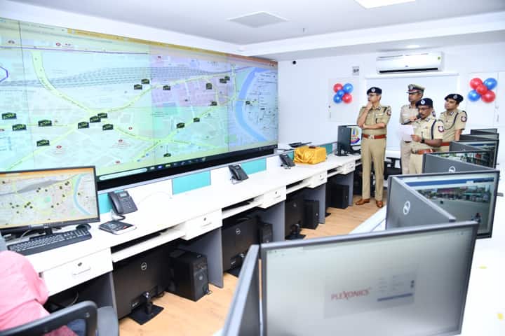
The system includes mapping of important police and government assets for handling of emergency situations; identification of all the critical roadside facilities like bus stands, shopping areas, parking locations that are prone to snatching and theft; pinpointing of clusters in city that have crime records against women and children; and recording of all recent reported incidents that will help in making decisions on deployment of forces in sensitive areas.
To further strengthen law enforcement, the Press statement issued by GCP said: “A state-of-the-art Integrated Beat Planning & Automated Vehicle Location System has been deployed with capacity to support more than 5,000 GPS enabled vehicles and over 2,000 police personnel through specialized mobile applications. The software will help officers at police stations to plan their beats and monitor the operations on specially designed live GIS dashboards.”
The statement further added that “Integrated AVLS module will be used by the control room to identify the nearest patrol vehicle to the incident location for responding to the call to save precious time and improve efficiency.”
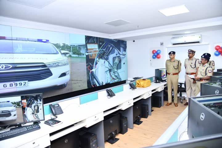
Policemen will now have the facility of capturing details of the incident location along with photographs and this will be recorded on Crime Zone Mapping Servers for further analysis, the release said.


