


In one of the biggest such initiatives, the Ministry of Defence has surveyed 17.78 lakh acres of defence land across the country.
The ministry said that it owns large tracts of land measuring nearly 17.99 lakh acres, of which approximately 1.61 lakh acres is situated within 62 cantonments and about 16.38 lakh acres is located outside the cantonments.
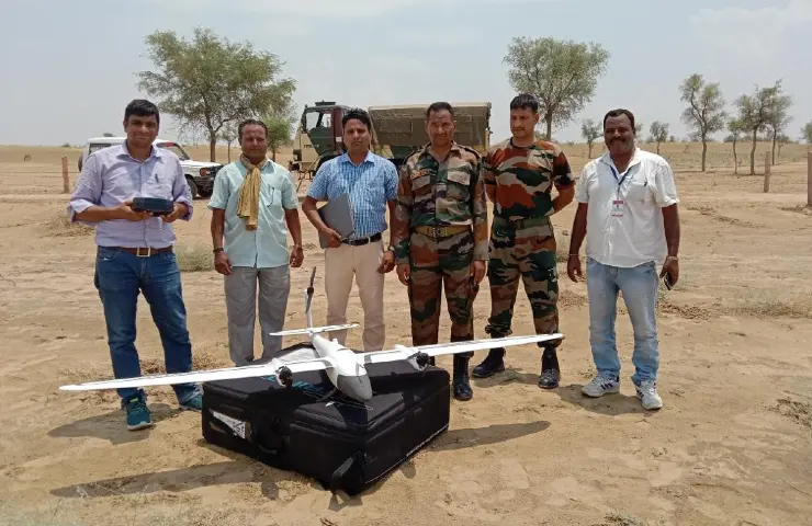
The ministry used the latest technologies such as three-dimensional modeling, drones and satellite imagery for the mapping. It also used 3D modeling techniques for better visualisation of defence land in mountain areas by using the Digital Elevation Model (DEM) in association with Bhabha Atomic Research Centre (BARC).
In a statement on Sunday, the ministry said: "It is a remarkable achievement since for the first time after independence, entire defence land has been surveyed by using latest survey technology and in a large number of pockets in association with the Revenue authorities of various State Governments." The statement added that land was measured in 4,900 pockets across the country in association with various stakeholders.
The ministry says that drone imagery-based survey technology was used for survey of lakhs of acres of defence land in Rajasthan. "The entire area was surveyed with the help of the Surveyor General of India in a matter of weeks, which earlier used to take years", the ministry said in a statement.
Read also: Turkish Drones in African Wars: India Should Take Note
The ministry now hopes to reduce boundary disputes amongst various stakeholders and help resolve legal disputes.
The ministry has also initiated a project for a 'real time change detection system' for locating encroachments on defence land. A pilot test has been carried out on satellite imageries of defence land pockets procured from National Remote Sensing Centre, Hyderabad.
In an effort to ensure that the learnings from the survey are passed on, the ministry has established a Centre of Excellence (CoE) on Land Survey and GIS Mapping at the National Institute of Defence Estates Management (NIDEM) for training officials of Defence Estates in the field of survey technologies. "The CoE aims to be an apex survey institution capable to impart training of various levels to the officers of Central & State Govt. Depts. CoE also aims to use SLAM/GIS technologies in better land management & town planning processes", the ministry said in its statement.
The defence ministry sought the support of India's numerous premier institutions for the survey. The survey of defence lands using geo-spacial and modern technologies was also in line with the government's emphasis on Digital India.


